
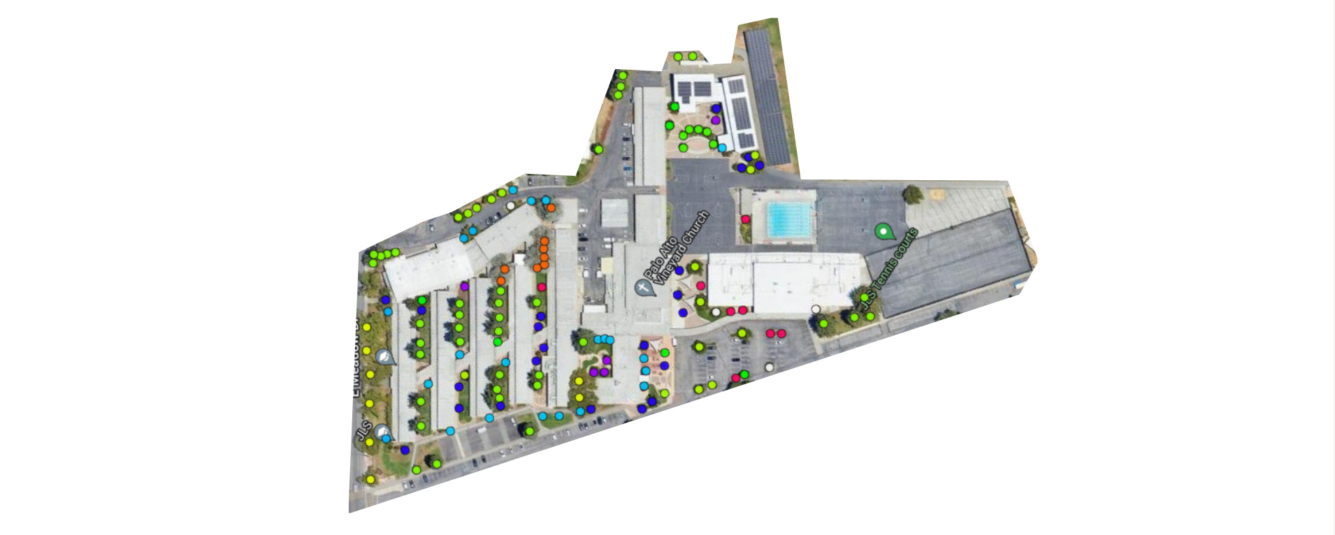
I created a tree map of Jane Lathrop Stanford Middle School for my Broadcast Media class in 8th grade, but it was never published. As I was doing research for that project, I stumbled upon the Canopy Tree Plotter, a tree map of Palo Alto, though since it didn’t list the trees at JLS, I didn’t use it. Going back yesterday, I saw that the map was partially crowdsourced, so anybody could contribute, and I decided to add the tree map there. You can see it here.
Going back to the original map I created, I noticed many inaccuracies, mostly due to my poor perception of distance. When I created the map, I made sure to place the trees correctly relative to easily visible features like classrooms, but I didn’t really pay much attention to how far from the walls they were placed, or other factors like that. Also, there were discrepancies even between two versions of the same map, one with a legend and another without.
On both the original map and Canopy I’ve listed the trees surrounding the amphitheater as Crape Myrtle, though I wasn’t too sure of this classification then and am still not too sure of it now. Additionally, I don’t know if the trees I’ve listed as Eastern Redbuds are correctly identified.
Here is the original tree map and accompanying blurb in mostly original form with some minor accounting errors rectified: